 Living (and loving) Life
As you probably know, Florida is a pretty large state in terms of land area.
In fact, at 65,758 square miles, the Sunshine State is actually larger than over half of the other 49 US states.
But truth be told, as large as it is, the entire land mass of Florida is just barely sticking its “head” above the waters of the Atlantic Ocean and the Gulf of Mexico.
Yes, I know that’s an exaggeration, but just just barely. Consider this…
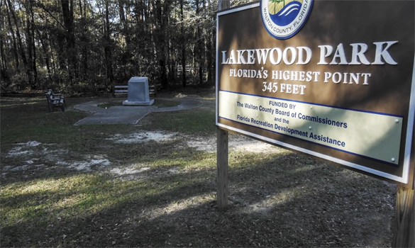
The highest point in the state is Britton Hill. And just how high is Britton Hill? A mere 345 feet above sea level!
That means if were to go to Florida’s highest point and dig straight down just a little more than the length of a football field, when you reached the bottom you’d be standing at sea level!
Although Florida ranks #22 out of 50 in land area, it would actually be the “thinnest” state if you were to somehow view them all edge-on.
To finish up, here’s a very short, but somewhat humorous video that does a pretty good job at putting Florida’s highest “peak” into perspective.
Note: You can watch this video at full screen by clicking the little “square” icon in the lower-right corner of the video after it begins playing.